


Transportation information for Chesapeake Bay is provided below. Travel information includes driving directions, maps, airport information and more.
Transportation Services
Executive Taxi Cab Services
- Easton
- Transportation Services
- 410-820-8294
Lonergran's Charter Svc
- Millersville
- Transportation Services
- 410-923-4185
Philex Transport Services Inc.
- Essex
- Transportation Services
- 443-603-7394
Corporate Executive Services
- Bowie
- Transportation Services
- 301-805-6099
Airport Taxi and Limo, LLC
- Essex
- Transportation Services
- 443-505-1196
Tim Of Liberty Cab
- Crofton
- Transportation Services
- 410-919-3180
Richard's Airport & General Transportation
- Laurel
- Transportation Services
- 301-728-6004
MDV Limousine Inc
- Laurel
- Transportation Services
- 240-755-3552
Keller Bus Service
- Waldorf
- Transportation Services
- 301-843-1881
Bax Global Inc
- Odenton
- Transportation Services
- 410-674-8629
ANYTIME taxi
- North East
- Transportation Services
- 443-248-3892
Yes Taxi
- Laurel
- Transportation Services
- 410-695-4884
Supreme Motor Coach
- Annapolis Junction
- Transportation Services
- 301-470-2248
Signature Sedan
- Cockeysville
- Transportation Services
- 443-798-1800
Metro Finest Limousine
- Waldorf
- Transportation Services
- 888-958-5950
KD Elite Transportation, Inc
- Baltimore
- Transportation Services
- 410-276-4401
Epic Sedan Service
- Annapolis
- Transportation Services
- 443-822-8747
Waldorf Cab
- Waldorf
- Transportation Services
- 240-299-5490
Bluebird Cab Co
- Lanham
- Transportation Services
- 301-864-7700
Gavin Limousines
- Laurel
- Transportation Services
- 240-338-0814
Annapolis Taxi Service
- Annapolis
- Transportation Services
- 443-995-1400
Bovilo Transportation Services
- Randallstown
- Transportation Services
- 410-922-1536
Sundown Transportation
- Annapolis
- Transportation Services
- 443-822-8747
Main Street Taxi
- Denton
- Transportation Services
- 443-921-8294
E-Taxi
- Huntingtown
- Transportation Services
- 410-414-3540
Executive Taxi and Transportation Service
- Easton
- Transportation Services
- 410-820-8294
Accent Transportation
- Columbia
- Transportation Services
- 410-730-1942
Waldorf Taxi & Airport Transportation
- Waldorf
- Transportation Services
- 240-389-8363
Radha Transportation Services
- Nottingham
- Transportation Services
- 443-813-4239
Veterans Taxi
- Millersville
- Transportation Services
- 410-729-0244
Veterans Taxi
- Severn
- Transportation Services
- 410-729-0244
Oniel's Car & Limousine Service
- Owings Mills
- Transportation Services
- 443-956-6944
The Franklin Chauffeur
- Cockeysville
- Transportation Services
- 410-903-0385
Airports
The Chesapeake Bay can be accessed by both the Washington National Airport located 4 miles from downtown Washington D.C. and the Baltimore-Washington International airport located just south of Baltimore, MD. Both airports all are serviced by all major airlines to destinations all over the nation as well as International destinations.
Martin State Airport
- 9 miles E from Baltimore
- MTN
- Public
- 410-682-8800
Easton/Newnam Field
- 2 miles N from Easton
- ESN
- Public
- 410-770-8055
Map + Directions
Basic Directions
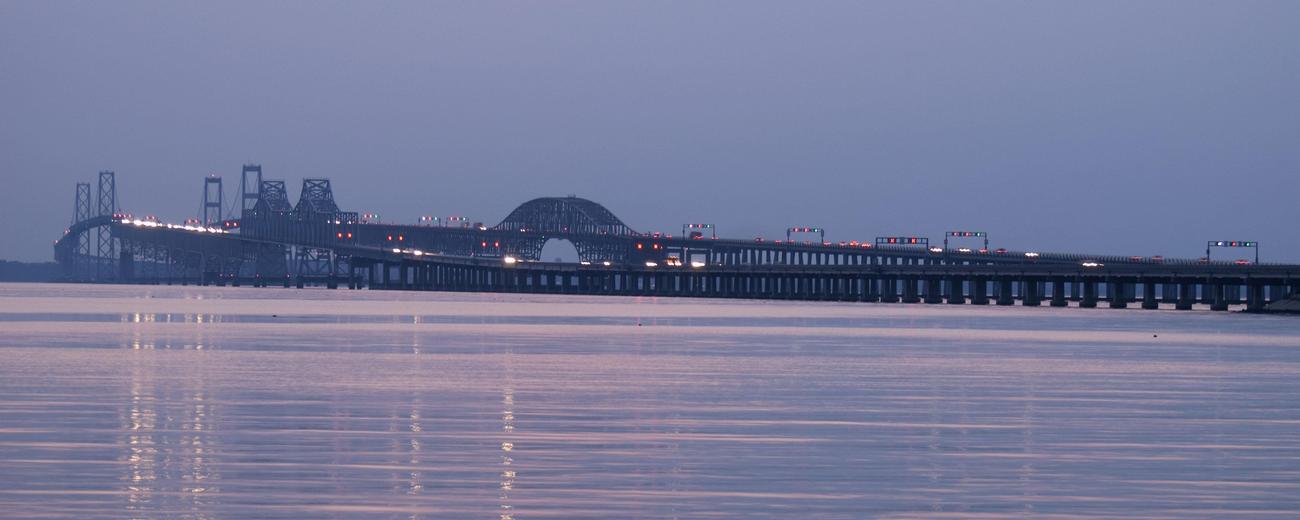
The bay separates Maryland's central and eastern regions and borders Baltimore and Annapolis. It flows into the Atlantic Ocean at its southern base.

